
Photograph looking southeast at the intersection of Troost Avenue and 12th Street. Shows Roy L. Wooddy Drugstore at 1101 E 12th.
Communities and Neighborhoods
Image Gallery
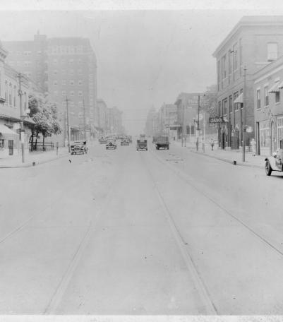
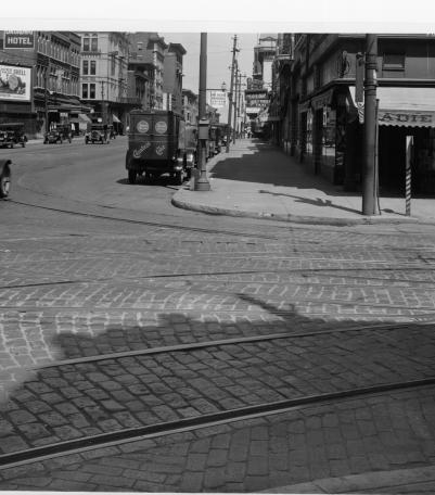
Photograph looking north along Broadway Boulevard from 13th Street. The Hotel Commonwealth is pictured to the left.
1925

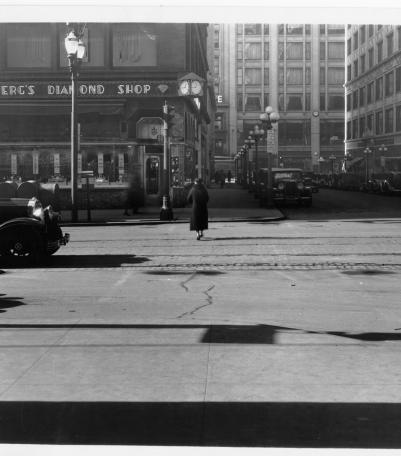
Photograph looking west from the northeast corner of 12th Street and Walnut Street. Katz Drugstore and Sexton Hotel is pictured.
1925
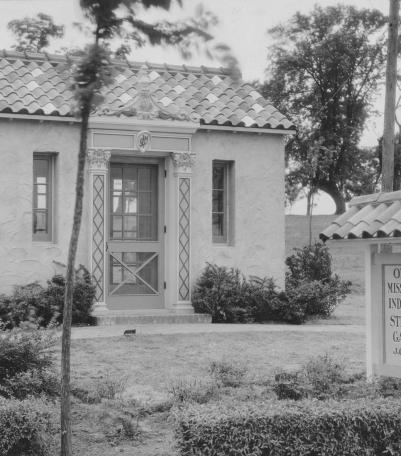
This picture was taken looking south at the intersection of Mission Drive, Overhill Road, and Ensley Lane in Mission Hills, Kansas.
1925

Photograph looking north along west side of Oak Street from 12th Street. Walker Laundry, Rainbow Hotel, and the Y.M.C.A. are pictured.
1925

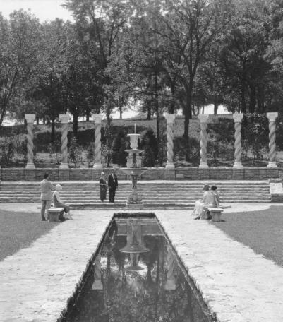
Romanelli Gardens, the northeast portion of the Armour Farm, just west of Wornall Road and south of 67th Street, has been added to the developing s
1925
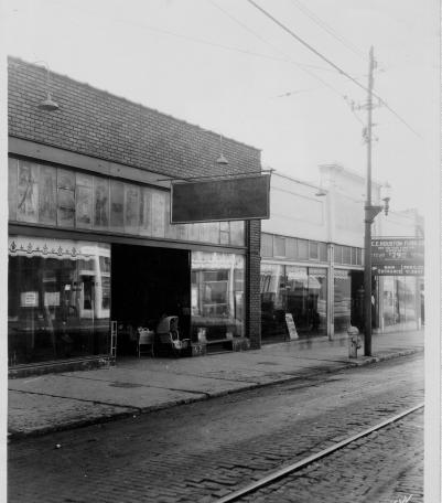
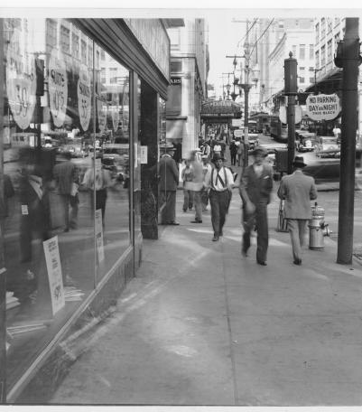
Photograph of storefronts along the south side of 12th Street between Campbell Street and Harrison Street.
1925
Photograph looking north along the east side of Walnut Street from 12th Street.
1925
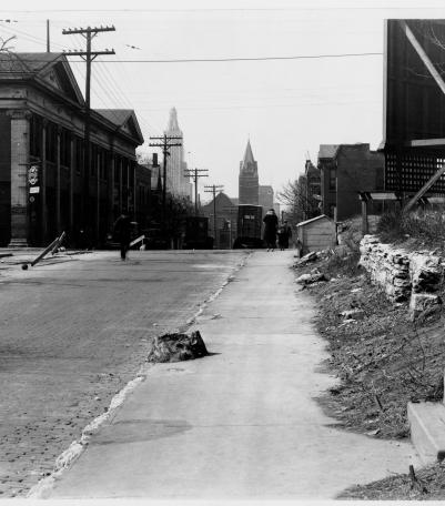
Photograph looking west along north side of 13th Street between Troost Avenue and Forest Avenue.
1925
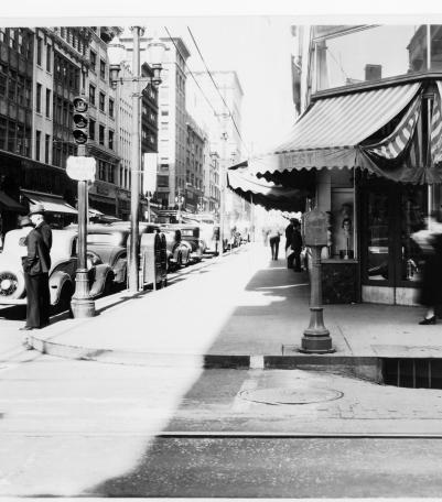
Photograph looking west along the south side of 12th Street from just east of Walnut Street. Pennant Cafeteria is pictured in the background.
1925
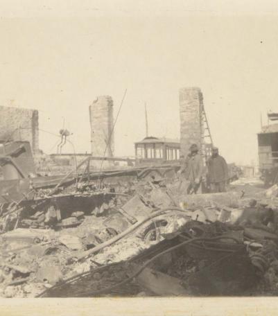
Photograph of the Strang Line car barn after it was destroyed by fire in 1925.
1925
Photograph looking north along the east side of Broadway Boulevard at 12th Street.
1925
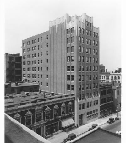
Photograph with full frontal and side view of the Carbide and Carbon Building (later called Union Carbide Building) located on the west side of Bal
1925

Photograph looking west along the south side of 12th Street from Charlotte Street. The Holmes Hotel and Matteson & Co.
1925
Photograph looking west along the south side of 11th Street from the west side of Walnut Street.
1925