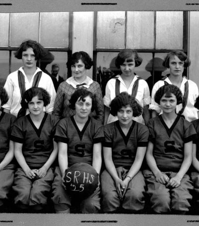
Photograph of the 1925 Stillwell High School girls basketball team.
Communities and Neighborhoods
Image Gallery
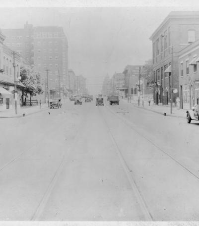
Photograph looking north along Broadway Boulevard from 13th Street. The Hotel Commonwealth is pictured to the left.
1925
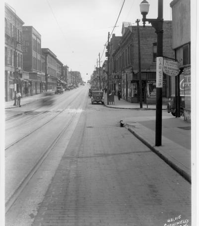
Photograph looking west along north side of 13th Street between Troost Avenue and Forest Avenue.
1925
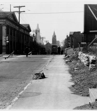
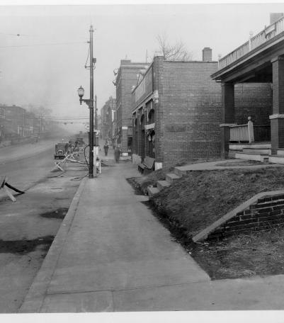
Photograph looking east along 12th Street from just west of Charlotte Street.
1925
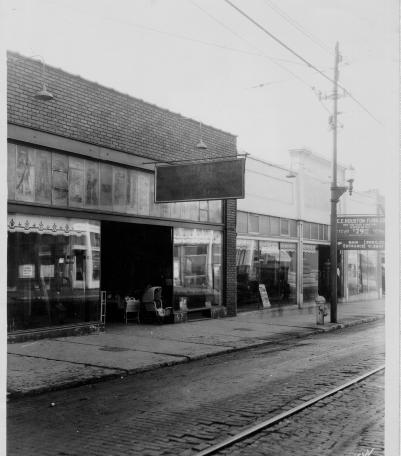
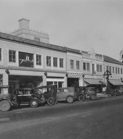
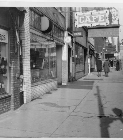
Photograph of storefronts along the south side of 12th Street between Campbell Street and Harrison Street.
1925
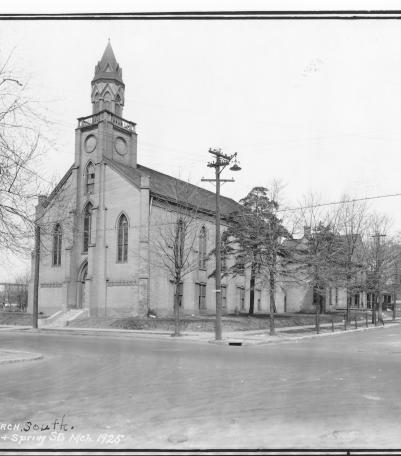
Photograph of the First Methodist Episcopal Church, South located at the northwest corner of Maple Avenue and Spring Street in Independence, Missou
3 /1925
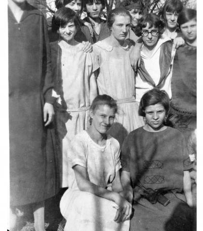
Photograph of unidentified girls, members of the St. George Serbian Orthodox Church congregation.
4 /19 /1925
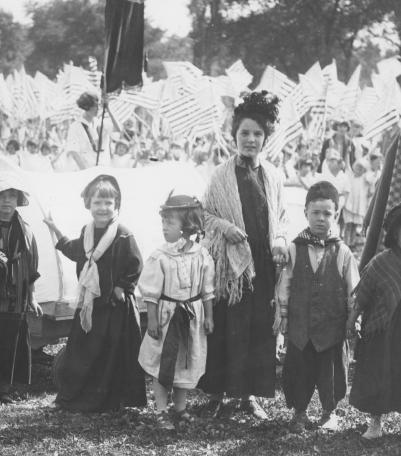
Children in costume at the 1925 Community Field Day on the grounds of the Pembroke-Country Day School.
5 /15 /1925
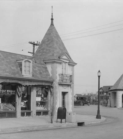
This picture was taken looking northwest just south of the intersection of 71st Street (now Gregory Boulevard) and Wornall Road.
11 /1925
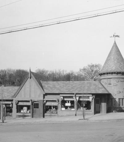
This picture was taken looking west at the intersection of 50th Street and State Line Road.
11 /1925
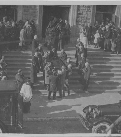
Photograph of pallbearers carrying the body of Monsignor James T.
11 /23 /1925
This picture was taken looking northeast just east of the intersection of Alameda Road (now Nichols Road) and Central Street.
12 /1925
Photograph looking north along the west side of the 1300 block of Walnut Street.
12 /8 /1925
Photograph looking north along the east side of Main Street between Spring Street (31st Terrace) and 32nd Street.
12 /10 /1925
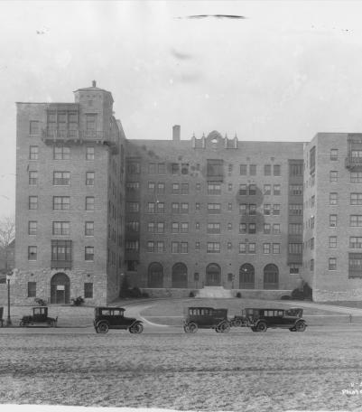
Photograph of the Park Lane Apartments, located on the west side of Mill Creek Parkway (presently J C Nichols Parkway) between just north of 46th S
12 /17 /1925
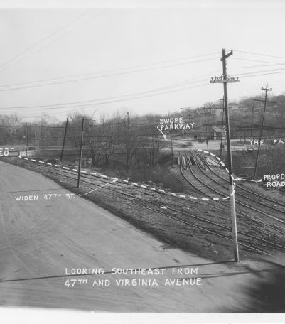
Photograph with caption, "looking southeast from 47th and Virginia Avenue." The photograph's annotations label streets and show prop
1926