
Photograph looking south from the ASB Bridge and looking towards the intersection of 3rd Street and Locust Street.
Communities and Neighborhoods
Image Gallery
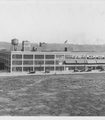
Photograph of the Ford Assembly Plant, located on the east of Winchester Avenue between 10th Street and 12th Street.
1925
Photograph looking east along the south side of 12th Street between Walnut Street and Grand Avenue.
1925

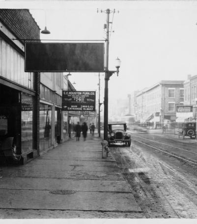
The first snowstorm of winter 1925 came earlier than expected, and the J. C.
1925
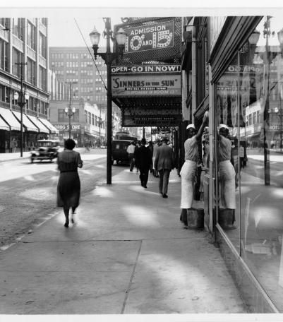
Photograph looking west along the south side of 12th Street between Campbell Street and Harrison Street. C. E.
1925

Photograph looking south from the northwest corner of 9th Street and Grand Avenue (Grand Boulevard).
1925
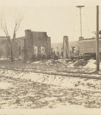
Photograph of the Strang Line Car Barn after it was destroyed by fire in 1925.
1925

Photograph looking south along the east side of Broadway Boulevard from 12th Street. The Commonwealth Hotel is pictured to the right.
1925

Photograph looking north on the west side of Main Street between Missouri Avenue and 5th Street. The Tri-City Barber College is pictured.
1925

Photograph looking east from the southwest corner of Wyandotte Street and 9th Street.
1925

Photograph looking south along the west side of Oak Street between 11th Street and 12th Street.
1925
Photograph of the Strang Line Car Barn after it was destroyed by fire in 1925.
1925

Photograph looking east from the intersection of Broadway Boulevard and 12th Street.
1925

Photograph looking north on the east side of Forest Avenue between 9th Street and 10th Street.
1925

Photograph looking east along 12th Street from just west of Troost Avenue.
1925

Photograph of a large crowd gathered for an event at the intersection of 31st Street and Van Brunt Boulevard/Hardesty Avenue.
1925