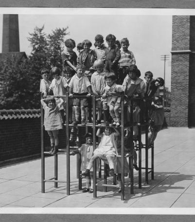
Photograph of children on a jungle gym on the balcony of the Woodland Public School, located on the north side of 8th Street between Woodland Avenu
Communities and Neighborhoods
Image Gallery
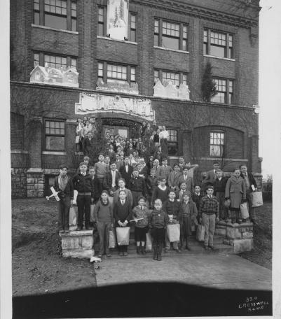
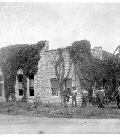
Photograph of boys posed on the front steps of the Boys Hotel Main Building at the southeast corner of Admiral Boulevard and Flora Avenue.
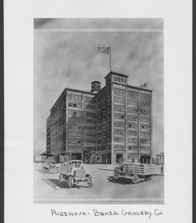
Circa 1928 drawing with frontal and side view of the Ridenour-Baker Grocery Company, located at the southeast corner of St Louis Avenue and Mulberr
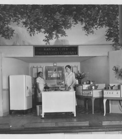
Photograph of two women standing in a demonstration kitchen on the Shawnee Mission Rural High School gymnasium stage as part of the Johnson County
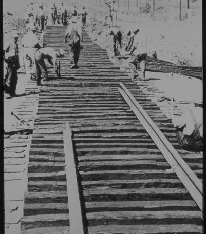
Undated photograph of unidentified railroad workers laying tracks in Kansas City, Kansas.
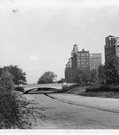
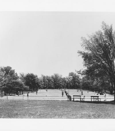
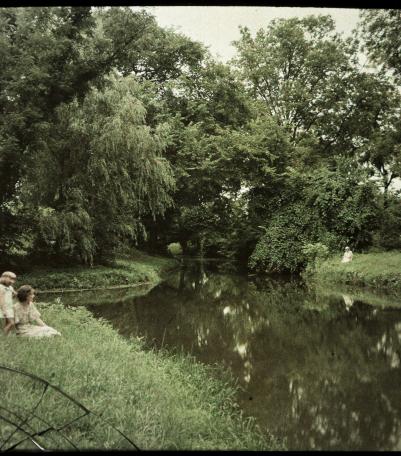
Photograph showing improvements to Brush Creek, Kansas City, Missouri, with the widened Wornall Road Bridge in the background, ca. 1930s.
Photograph of the Strang Line car barn and power plant in Overland Park, Kansas, circa the 1910s.
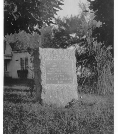
Photograph of the Santa Fe Trail marker located at the southeast corner of Blue Ridge Drive and 66th Street in present-day Raytown, Missouri.
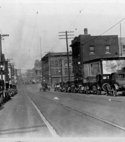
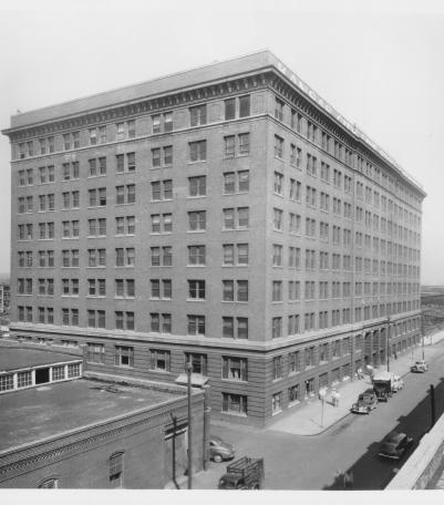
This photograph was taken looking west-northwest on 8th Street between Oak and Locust Streets.
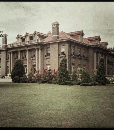
An autochrome photograph of Mack B. Nelson's house, taken from the northeast. Nelson was president of the Long-Bell Lumber Company.
Photograph with side and front view of the Livestock Exchange Building, located just west of the intersection of 16th Street and Genessee Street.
A damaged autochrome photograph of two women and one child posed by the entrance to the Kansas City Country Club.
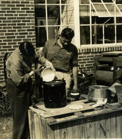
Photograph of two boys preparing paint outside of Shawnee Mission Rural High School in 1940 or 1941.