
Photograph of the Overland Park Grade School basketball team in 1922.
Communities and Neighborhoods
Image Gallery
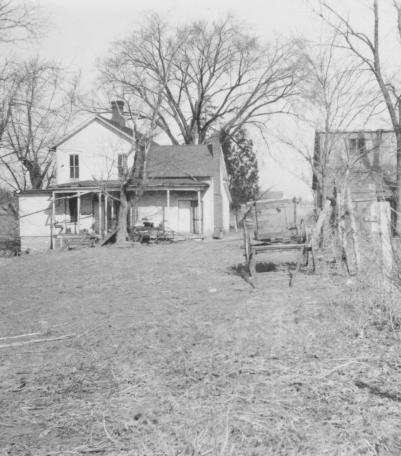
Carter home on the south side of 54th Street, between Belinder Road (now Belinder Avenue) and Porter Road (now Mission Road).
1922

Men, mules, and machines constructing the Country Club District.
1922

Exterior view of the White Eagle Oil and Refining Company Filling Station at 46th Terrace and Mill Creek Parkway (now J C Nichols Parkway).
1922

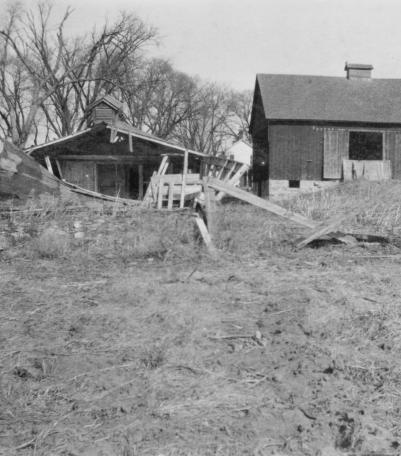
The Ruhr Dairy located just west of Belinder Road (now Belinder Avenue) and south of 54th Street.
1922
Carter home on the south side of 54th Street, between Belinder Road (now Belinder Avenue) and Porter Road (now Mission Road).
1922
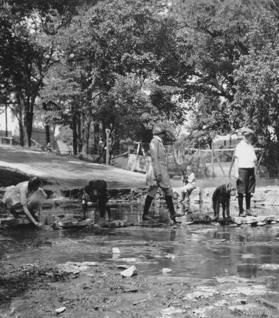
The Indian Lane ford over Brush Creek in Mission Hills, Nichols children in the center, Harriet Smith on the left.
1922
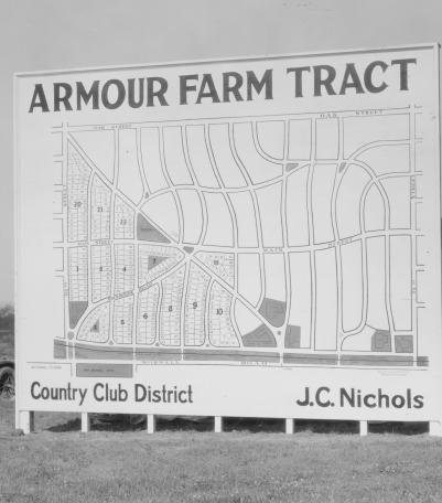
Men and women gaze at a J. C. Nichols Company sign showing available plots for sale in Armour Farm development.
1922

Smoke clouds arising from Lyle Rock Company quarry, located at 48th Street and Baltimore Avenue.
1922
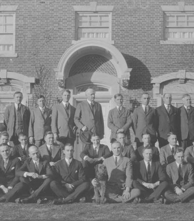
J. C. Nichols Company salesmen organization, taken on the terrace of the J. C. Nichols home at 1214 W. 55th Street.
1922
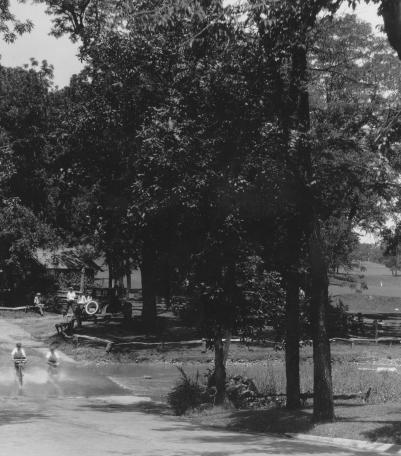
A view of four children on bicycles riding across the ford just west of the intersection of Indian Lane and Mission Drive.
1922
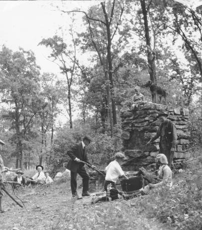
This picnic oven in Indian Hills was a favorite spot of Mr. Nichols, and the family often spent an evening here. Mr.
1922

Home of Chester C. Smith at 6418 Washington Street.
1922

This picture of the Crestwood Shops was taken looking east-southeast on 55th Street between Brookside Boulevard and Oak Street.
1922
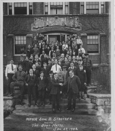
Photograph of Kansas City Mayor Sam B. Strother visiting the Boys Hotel at the southeast corner of Admiral Boulevard and Flora Avenue.
1 /29 /1922
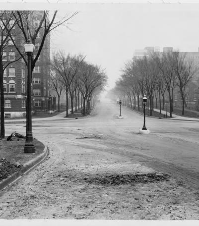
Photograph looking east along Armour Boulevard from the west side of Gillham Road.
3 /30 /1922