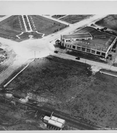
Circa 1930 photograph with an aerial view of Inland Aviation Company, also known as Inland Aircraft Company, once located at the southeast corner o
Communities and Neighborhoods
Image Gallery
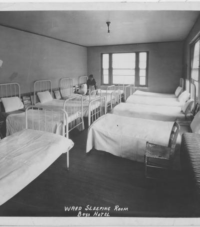
Photograph of a maid attending to a ward sleeping room at the Boys Hotel at the southeast corner of Admiral Boulevard and Flora Avenue.
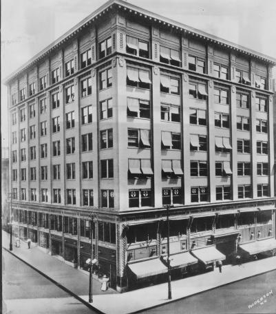
Circa 1928 photograph with frontal and side view of the Lathrop Building, once located on the southeast corner of 10th Street and Grand Avenue.
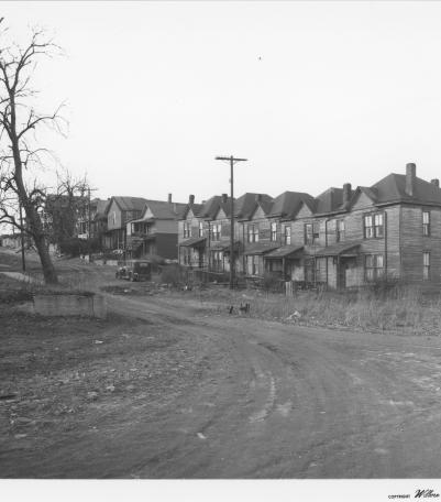
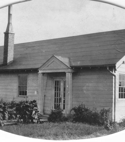
1940's photograph of homes in Columbus Park at the northwest corner of 4th Street (Linden Avenue) and Forest Avenue.
Photograph of the Meyer Boulevard Evangelical Church located at the southwest corner of Meyer Boulevard and Rockhill Road.

Photograph of a newly constructed shelter house with a picnic oven at Swope Park, Kansas City, Missouri, ca. 1930s.
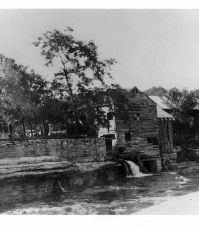
Circa 1920 photograph with full view of Watts Mill including view of Indian Creek and rock ledge, Dallas, Missouri.
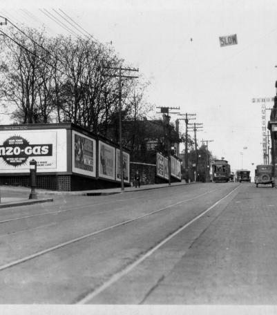
This photograph was taken looking east-northeast on 12th Street just west of Pennsylvania Avenue in Kansas City, Missouri.

Photograph with an interior view of Seven Oaks School kindergarten with children seated in chairs listenting to a story read by their teacher, Miss

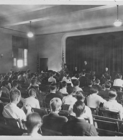
Photograph of boys attending a Sunday morning service in the auditorium of the Boys Hotel Club Memorial Building on Admiral Boulevard between Flora


Undated photograph of unidentified railroad workers in Kansas City, Kansas.
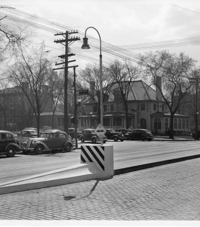
Photograph of "streamlined" Safety Zones intended to protect patrons at streetcar stops, Kansas City, Missouri, ca. 1930s.
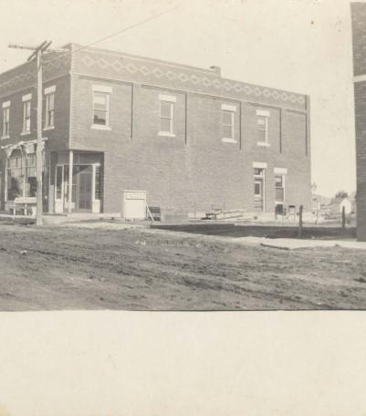
Photograph of the Conser Building, on the northwest corner of 80th and Foster in downtown Overland Park, circa 1920.