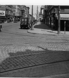
Photograph looking west along the north side of 12th Street from the east side of Main Street. The Sexton Hotel is pictured to the left.
Streets
Displaying 229 - 240 of 706

Photograph looking east along the north side of 12th Street between Holmes Street and Charlotte Street between 4:00 and 5:00 P.M. on August 15, 1941. The Hotel Troy is pictured in the background.
Photograph looking west along north side of 13th Street between Troost Avenue and Forest Avenue. The Odd Fellows Temple is pictured to the left.
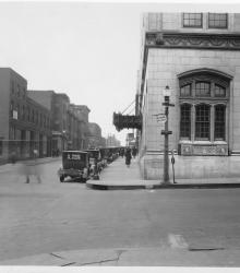
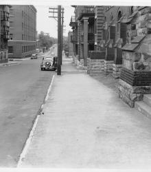
Photograph looking west along the north side of 13th Street at Baltimore Avenue. The Kansas City Club Building is pictured to the right.
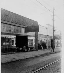
Photograph of storefronts along the south side of 12th Street between Campbell Street and Harrison Street.
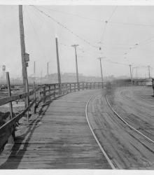
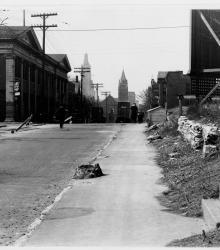
Photograph looking northwest on Brook Street (presently Allen Avenue) between Fairmount Avenue and 23rd Street Trafficway (presently Avenida Cesar E Chavez). The Cudahy Packing Company is pictured in the background.
Photograph looking east along the south side of 13th from the east side of Holmes. St. Mary's Episcopal Church is pictured to the right.
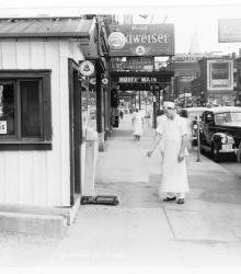
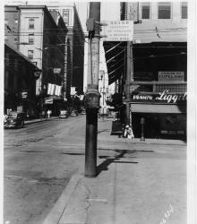
Photograph looking north along the west side of Main Street just north of 15th Street (presently Truman Road). A cook, the Hotel Main, and Strand Hotel are pictured.
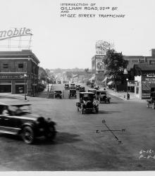
Photograph looking south along McGee Street Trafficway from the intersection of McGee, 22nd Street, and Gillham Road.
Photograph looking north along the east side of Broadway Boulevard at 12th Street. The New Broadway Hotel and Hotel Brunswick are pictured to the left.
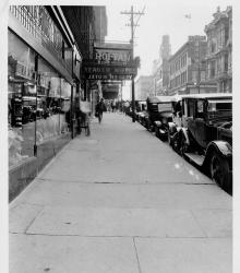
Photograph looking west along the south side of 9th Street between Wyandotte Street and Central Street. The Yeager Hotel, Hotel Savoy, and Hotel Moore are pictured.
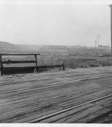
Photograph looking southwest from the 23rd Street Viaduct from the current intersection of Avenida Cesar E Chavez and American Royal Drive. The Kansas City Belt Railroad Bridge is pictured in the background.