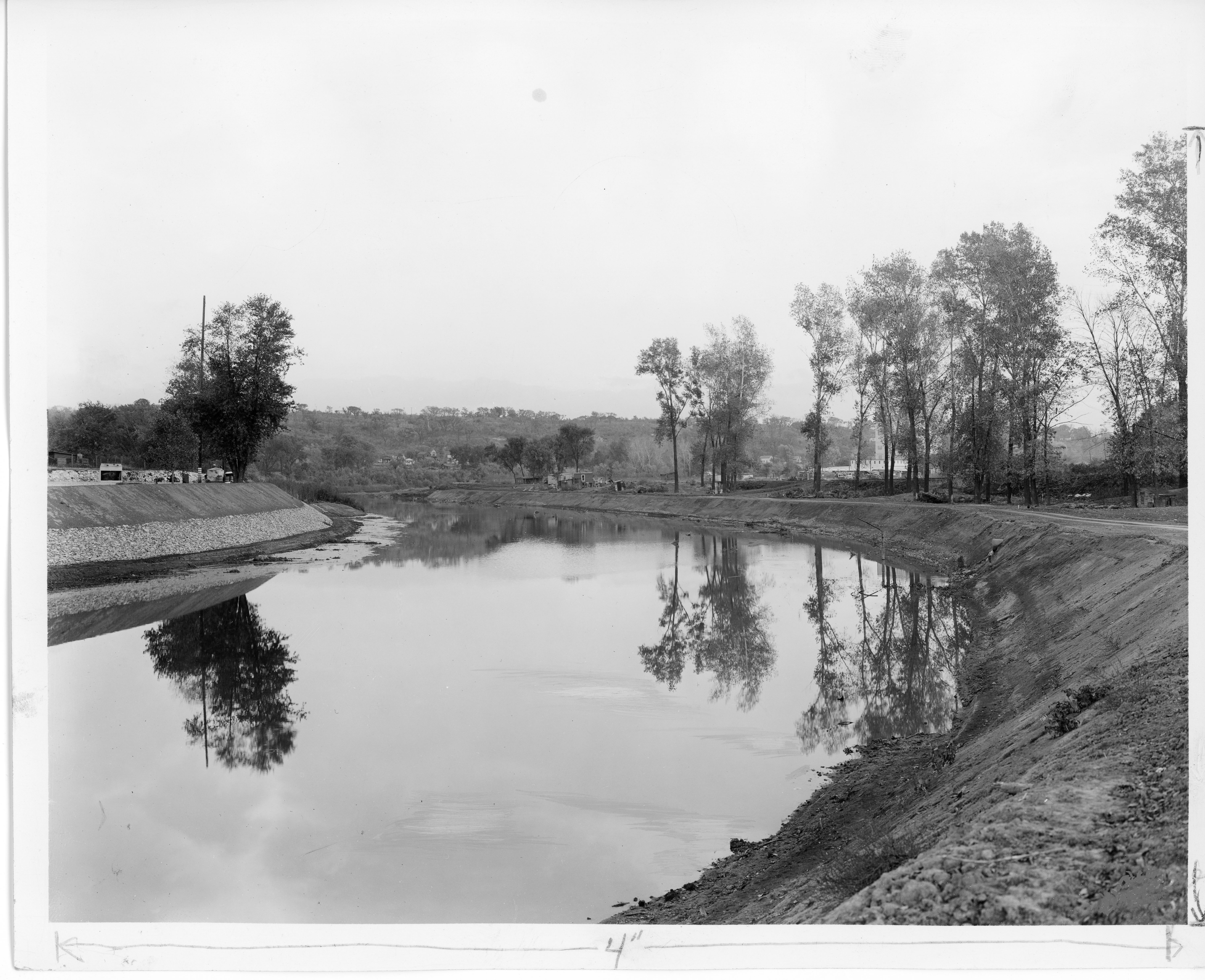
Blue River near 15th Street
Description:
Photograph of improvements made to Blue River south to the limits of Swope Park, Kansas City, for purposes of flood control, ca. 1930s. This vantage point faces southwest from just south of 15th Street (now Truman Road). This photograph was taken before the river was diverted to west of Manchester Avenue (now Manchester Trafficway). The Spear Brand Mills Inc. at the now defunct intersection of 17th Street and Potter Avenue can be seen in the right background behind the trees.
Creator:
Genre:
Owning Organization:
Modern Location:
7900 East 17th Street
Kansas City, MO
Neighborhood:
Historical Street Name:
Building Name:
Finding Aid URL:
Rights Statement:
Publication, commercial use, or reproduction of this image or the accompanying data requires prior written permission from the State Historical Society of Missouri-Kansas City. Use of this image also requires that credit be given to the State Historical Society of Missouri-Kansas City.
Collection Title, Call or Box Number:
Kansas City's Ten-Year Plan Records (K0272), Folder 73
Digital Object Identifier:
SHSMO-K0272-F073-0004
